
Rochester Hills ZIP Code Coverage
Rochester Hills has two official ZIP descriptions that should not be collapsed into one map. The City Atlas index calls its map a view of three ZIP codes that cover the city. Separate official postal and legislative material identifies a Rochester Hills service-area range from 48306 through 48309. The products may describe different things: codes that intersect municipal territory versus a broader Rochester post-office service area. The exact official municipal ZIP polygon and the city map legend were not captured, so each row below remains a delivery-context note rather than a boundary finding.
| ZIP | Areas Covered | Post Office | Notes |
|---|---|---|---|
| 48306 | Rochester and Rochester Hills postal service area; commonly associated with the northern part of the broader local area | Rochester or Rochester Hills postal service | Exact Rochester Hills and Oakland Township split was not located in one official boundary source. |
| 48307 | Central and southern Rochester-area addresses, with overlap into the City of Rochester | Rochester post-office service | A postal city label does not establish municipal jurisdiction or residence. |
| 48308 | Rochester post-office service, PO Box, and central-area coverage in the official list | Rochester post-office service | Validate a street delivery address before treating it as inside Rochester Hills. |
| 48309 | Rochester and Rochester Hills service associated with much of the central and southern delivery geography | Rochester or Rochester Hills postal service | Check ZIP+4, city boundary, and parcel separately. |
Use the table to form a search input, not a conclusion. The postal service assigns delivery labels, while a city boundary is a municipal line and a parcel is a tax-and-land geography. A complete address may need all three checked before a record can be described accurately.
Rochester Hills ZIP Code Mismatch
The local three-code versus four-code difference is a useful Rochester Hills records-geography check. The City Atlas ZIP map and the state post-office list are not interchangeable products. It is reasonable to preserve both labels from the source, but not to infer why they differ without the official legend or postal-boundary dataset. A Rochester postal city can serve addresses outside the city, and a city address can need a delivery label that does not read like a municipal boundary.
Start with the Rochester Hills Atlas map index for the municipal map layer. Follow with USPS address normalization and the Oakland County parcel result. If the layers do not agree, record each result and its date rather than choosing the nearest-looking label. The city Atlas, parcel layers, and postal lookup can each change without publishing the same version history.
Boundary check. A Rochester Hills ZIP match is not proof of city limits, parcel jurisdiction, or current residence. Confirm a street address through USPS, the city map, and the parcel or PIN record.
Rochester Hills ZIP Code Normalization
USPS is the best first layer for a delivery question. Its ZIP Lookup accepts company, street address, apartment or suite, city, state, and an optional ZIP. It also offers routes by city and state and for cities by ZIP. The result standardizes delivery information, but it does not confirm that a person or company is at the address. A current postal result should lead to a parcel or city-map search when the goal is jurisdiction, land, permit, or historical-address work.
| USPS field | Use in a Rochester Hills search |
|---|---|
| Company | Optional delivery addressee detail; it does not establish an entity's operating location. |
| Street address | The key delivery input for standardizing a specific location. |
| Apartment or suite | Separates a unit where the address includes one. |
| City and state | Places the address in the right postal lookup context. |
| ZIP | An optional check against the address; it is not a legal boundary field. |
USPS AIS guidance says an address process can return ZIP, ZIP+4, carrier route, county code, delivery point, and check digit. Those elements improve address normalization. They do not create a resident record. For delivery questions that a web search cannot settle, use a postal counter or postmaster channel; for historical street geography, use the Library, Museum, and institutional map collections.
Rochester Hills ZIP Code Search Fields
ZIP can be one field within an address-keyed public-record workflow. An Oakland County Accela guide documents Street No, Street Name, and Zip fields, and instructs users to enter a parcel number without dashes. The same search can populate address, parcel, and owner fields. It remains necessary to check the city or county jurisdiction behind the permit result. An owner field is a record role, not a conclusion about current occupancy.
| Accela field | Supported use |
|---|---|
| Street No | Combines with the street name to target a defined address. |
| Street Name | Uses the capitalization guidance in the official search instructions. |
| Zip | Narrows the address query as a postal component. |
| Parcel Number | Provides a parcel alternative and is entered without dashes. |
BS&A can begin from an address, name, or parcel search and includes property-sale filters, but a ZIP-only BS&A filter was not confirmed in the Rochester Hills material reviewed. Do not promise one. If a ZIP-bearing address needs parcel validation, use the Oakland County Property Gateway to locate the PIN or property address, then compare the mapping result with the appropriate assessor or land-record source.
Finding Rochester Hills Residents by ZIP Code
A ZIP code can narrow the search area, but it cannot produce a reliable household roster. Keep the workflow focused on a lawful address, parcel, permit, election, or historical question. The goal is to move from a delivery label to a defined record and its source date, without relabeling an owner, voter result, or court party as a current resident.
- Normalize the complete street address in USPS ZIP Lookup, including the unit when applicable, and save the postal output as a delivery check.
- Compare the result with the Rochester Hills Atlas ZIP layer and Property Gateway. Record the city label, map position, parcel or PIN, and date checked.
- For an address or permit question, use the Accela address and ZIP fields or the parcel number, then confirm the jurisdiction that issued the record.
- For a voting question, use Michigan.gov/Vote only for the address-based registration or polling result. A broader QVF request needs a defined purpose and follows MDOS redaction rules.
Once the ZIP has narrowed a question to a named street, the Rochester Hills Street Directory handles the address-keyed record trail. Keep the ZIP as one search value, not as a substitute for the street, parcel, or record custodian.
Rochester Hills ZIP Code Voter Limits
Michigan.gov/Vote uses address, city, state, and ZIP as the known public lookup inputs. It verifies registration or polling information, not a citywide resident list. Michigan voter records are public through FOIA with important exclusions, including driver or state ID, full birth date, phone and email, digitized signature, QVF credentials, refusal-to-register information, and the last four digits of a Social Security number. Address confidentiality applications are not released.
The Michigan elections and voting information shown below provides the state route for voter questions. A state file request can use geographic parameters, but its described delivery is a CSV on encrypted flash drive or FTP, not email. The City Clerk, Oakland County election administration, and MDOS FOIA are access channels for different records; they are not ways around statutory field restrictions.

Preserve the election date, jurisdiction, precinct, and source timestamp when recording a legitimate civic result. A ZIP is not a precinct, and a precinct is not a household list.
Rochester Hills ZIP Code Business Records
State license and entity systems can use ZIP as one location criterion, but they answer authorization or filing questions rather than person-location questions. LARA public license data may show a licensee's profession, status, expiration, address, issue date, specialties, and email where the system publishes those fields. The records should be read as a state authorization, with a lookup date beside it. A mailing address on a license does not establish a current residence.
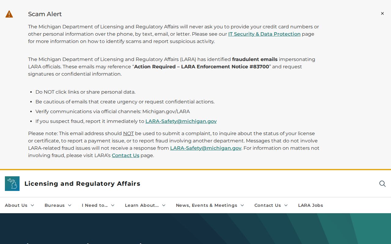
The Michigan LARA license lists and reports page is the source for the license material pictured here. LARA's public Accela search accepts license type or number, name components, business or DBA name, and county. Those specific fields help test an official credential without turning a ZIP label into an identity claim.
For an organization, use the Michigan entity route instead. The MiBusiness Registry Portal, launched June 23, 2025, handles filings, searches, certificates, and copies. Its static guidance confirms keyword or phrase searching, but its complete live entity-type and status controls were not captured.
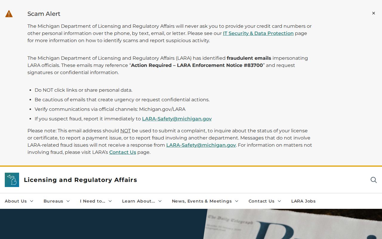
The Michigan LARA Corporations Division page provides the MiBusiness Registry route shown below. An entity's registered office or agent is an official filing field, not proof that a named individual lives there.
For a defined local establishment or address, Rochester Hills Building, Clerk, ordinance, and county service channels may be more fitting. A general Rochester Hills business-name registry was not located in the official sources reviewed.
Rochester Hills ZIP Code History
Historical address work needs the source's own place label. A newspaper may say Avon Township or a rural route, a current delivery record may say Rochester, and the modern parcel may fall in Rochester Hills. Those are separate dated descriptions. The city changed from Avon Township to its present city form in 1984, and the township-and-range grid and section maps are the reliable historical anchors found for reconciling old geography. Do not attach a modern ZIP to a nineteenth-century record without an official conversion trail.
USPS post-office history accepts From ZIP and To ZIP first-three-digit prefixes and can return ZIP, post office, state, establishment, and discontinuance information. It is useful for postal history, not as a municipal-boundary map. No Rochester Hills-specific ZIP realignment timeline, complete road-renaming chronology, or definitive postal-boundary change table was located. The needed evidence would be an official effective-date notice, map, ordinance, postal record, or parcel and legal-description match.
Note: Different place labels can be correct for their dates, so preserve every label and avoid converting an older address by postal inference alone.
Rochester Hills ZIP Code Boundaries
Postal ZIP, municipal boundary, and parcel geography do different work. A ZIP directs mail. A municipal boundary defines city jurisdiction. A parcel is a land-record unit associated with a PIN, legal description, and map position. When an address must be validated, start with USPS, check the Rochester Hills Atlas, then confirm the parcel through Property Gateway, BS&A, or the appropriate Register of Deeds record. No single Rochester Hills ZIP filter can replace that sequence.
- ZIP and ZIP+4
- A ZIP identifies a postal delivery area. ZIP+4 adds a more specific delivery segment, but neither one is a city-boundary line.
- PO Box ZIP
- A PO Box ZIP serves post-office boxes. It does not by itself identify a physical street delivery location.
- Unique ZIP
- A unique ZIP is assigned for a specific organization or delivery arrangement. No Rochester Hills unique ZIP was established in the reviewed sources.
- Carrier route
- A carrier route is a USPS delivery grouping that can aid address standardization. It does not prove who receives mail there.
Postal staff, City Clerk, Assessing, Building, the county parcel service, and Library or Museum map resources are the practical alternatives when a portal cannot answer the question. Use the custodian that owns the record, and retain the source date with every result.