
Rochester Hills Neighbors Around One Parcel
“Neighbor” has a narrow meaning in a parcel search: land that touches or lies close to the subject parcel. The official sources can establish parcel geometry, a recorded ownership role, a lot or subdivision, a historical address reference, or a community organization. They do not create a verified household roster. Start by writing down the exact address and the question being asked, such as whether two lots share a line or whether an older block appears in a local publication.
| Source | What it shows about a block | Access |
|---|---|---|
| Oakland County Property Gateway | Subject parcel, map geometry, PIN, and adjacent-parcel context | Online PIN or address search; some reports and map products can be paid |
| Rochester Hills BS&A | Assessment-record labels, parcel links, and related city property services | Public address, name, or parcel-number search |
| Register of Deeds and Super Index | Recorded land instruments, transfer trail, legal-description leads | Online index from 1964; counter, mail, and archival work for earlier material |
| City Atlas and county plats | Street, section, lot, subdivision, and historical geography | Official map products and plat or Tract Index research |
| RHPL and local organizations | Historic block context, newspapers, maps, governance material, and local history | Reference desk, historical collections, or private association channels |
Property Gateway and BS&A answer land questions differently. The county map helps locate and compare parcels, while the city portal can display assessment-related labels and services. The Register of Deeds supplies the recorded-instrument trail. A name on any one of those records may be an owner, taxpayer, grantee, or mailing contact. It is not a statement that the person is a current neighbor.
Mapping Rochester Hills Neighbors by Parcel
Use the Oakland County Property Gateway to begin the parcel flow. It accepts a PIN or property address, requires at least five characters, allows partial searches and a percent wildcard, and supports multiple comma-separated PINs. A map click can identify a parcel, but the reviewed county systems did not expose a universal neighbors button. Inspect the map at a sensible scale and note the PINs that actually touch the subject geometry.
- Search the subject address or PIN in Property Gateway. Save the exact search form, parcel identifier, map extent, and source date.
- Inspect the parcels around the subject boundary and write down adjacent PINs. Do not assume that a parcel across a road, easement, or shared drive touches the subject lot.
- Check each relevant PIN in Rochester Hills BS&A Online. Preserve the source label for owner, taxpayer, mailing address, or situs rather than changing it to “neighbor.”
- When a boundary or identity matters, compare the subdivision, lot, block, and legal description through a plat or the Tract Index before relying on a map outline.
- Use the recorded land index only for a transfer or legal-description question. A current recorded owner still does not prove current occupancy.
The PIN is safer than a name for joining county mapping, assessment, and deed research. It also prevents a nearby address with a similar street name from being merged into the same block. For a full named-street record path, the separate Rochester Hills Street Directory keeps the focus on a whole street rather than the immediate parcels around one address.
Rochester Hills Neighbors Are Not Map Pins
A parcel map is geography, not a household directory. The reviewed Rochester Hills and Oakland County sources distinguish the physical parcel from a tax mailing address, a recorded grantee, and a map position. Each field has its own date and purpose. A grantee address in a deed can be historical. A mailing address can be outside the parcel. An owner entry can refer to a person or an organization that does not occupy the property.
| Parcel geometry | Shows land location and boundaries as represented in the map layer. It can change after a split, plat, or mapping update. |
|---|---|
| Situs address | Identifies the physical location assigned to a parcel. It does not identify every person there. |
| Recorded owner or grantee | Describes a land-record role in a dated instrument or record. It is not an occupancy finding. |
| Mailing or taxpayer address | Supports tax correspondence. It may not be the same as the parcel's physical address. |
| Historical address | Connects a dated publication or map to a past location only after address and map evidence agree. |
This distinction matters on a changing block. Parcel combinations, lot splits, renamed roads, and old Avon Township geography can create apparent matches that are not the same land. Keep the older identifier beside the newer PIN and leave a mismatch unresolved until the legal description or plat confirms it.
Rochester Hills Blocks Need Plat Checks
A plat shows the subdivision, lot, and block geometry that a screen map may simplify. County instructions route plat work through the PLAT Records search: select the record type, enter the subdivision under additional criteria, choose the county, then inspect the record attachments or TIF images. The Tract Index is the county route for platted subdivisions, condominium units, acreage, and metes-and-bounds histories. It is the right place to pause when an apparent adjacent parcel has a different legal description.
Rochester Hills Museum Sidwell pages add historic section, road, lot-line, and subdivision context. City Atlas layers can add ZIP, street, construction, polling, historic-district, or cemetery-section context. Record the layer name and query date. The Atlas is useful for orientation, yet its map products do not determine a legal boundary. A line on a map needs a current parcel or recorded source when the question affects a particular lot.
Older records may say Avon Township, Rochester, or township-and-range language because Rochester Hills became a charter city in 1984. Preserve the original place form during a historic block search. It can explain why a newspaper or assessment does not use the modern city name.
Rochester Hills Neighbors and Associations
Neighborhood associations can explain the community layer around a block, but they are private organizations rather than government record custodians. The city's Guide to Neighborhood Living says that HOA compliance is a private association responsibility alongside city ordinances and gives associations a route for updating contact information with city records. It does not publish a complete neighborhood association directory or a public member roster.
| Community resource | Documented scope | Appropriate access |
|---|---|---|
| Shadow Woods Subdivision Association | Describes 419 homes and provides association community material | Use public association material; treat any resident directory as restricted |
| HOA of Hampton | Describes nearly 400 sites across seven subdivisions and former Avon Township context | Use governance or contact channels, not a household list |
| Spring Hill | Describes nearly 320 homes and publishes governing documents | Read public bylaws or deed restrictions for neighborhood history |
| Cumberland Hills, Winchester Village, and Cross Creek | Publish association governance, announcements, or meeting information | Use public documents and ask the association about historical material |
Official city material is useful for the line between municipal enforcement and private HOA rules. Association newsletters, bylaws, meeting notices, and governing documents can preserve neighborhood history. They do not authorize copying, scraping, or requesting a private member list. No official comprehensive Rochester Hills association inventory with current contacts was located.
For the city guide's official contact boundary, use the Rochester Hills neighborhood guide.
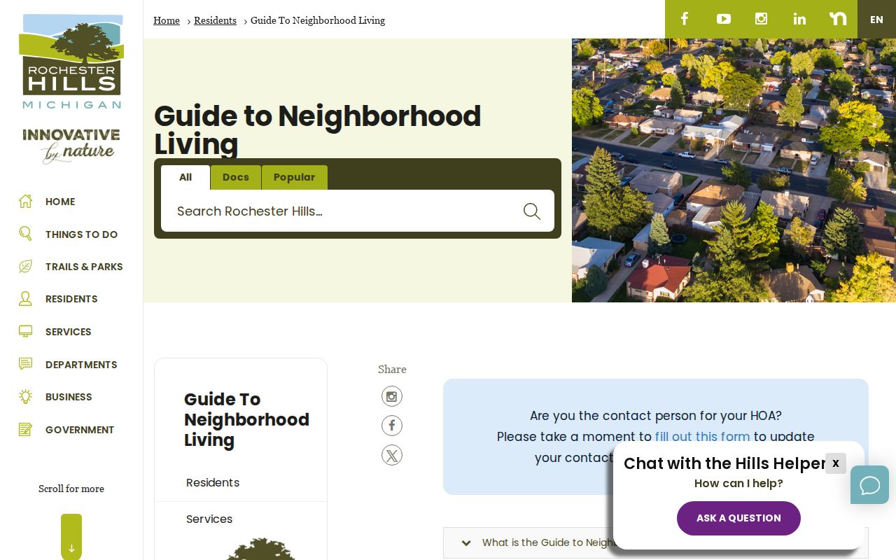
The guide provides a city point of contact for association information while preserving the difference between city records and private community records.
Rochester Hills Neighbors and Voter Records
Michigan.gov/Vote is an individual registration-status and polling-information tool. It is not a public block list. The recorded public inputs are address, city, state, and ZIP; the research did not verify a public name-and-address neighbor search in the live interface. For a current election question, start with the City Clerk or the state lookup. For a defined public-record question, Michigan voter records have a separate QVF and FOIA process with required redactions and access conditions.
Michigan's QVF guidance protects driver or state ID numbers, full birth dates, phone and email, digitized signatures, and other fields. Address Confidentiality Program applications are not released. The request form provides controlled delivery by encrypted flash drive or FTP, not email. A precinct or jurisdiction fact can be a civic research question. It should never become a compiled household list for a block.
Note: A voter-related record must be used with its statutory redactions and never as a substitute for confirming parcel geometry or a household relationship.
Historic Rochester Hills Neighbors in Context
Historic neighbors are best studied as a dated block story. RHPL's local-history desk offers newspaper microfilm, maps, yearbooks, vertical files, and digitized resources. Search a street, block, old place label, mill, rail corridor, or landmark with a date. The Rochester Era has selected holdings from 1873 to 1949, the Rochester Clarion from 1931 to 1971, and the Rochester Eccentric from 1972 to 2007. Selected coverage does not mean every issue is present.
The Rochester Hills Museum's construction-date material and Sidwell maps can help reconcile a current lot with an earlier road or building context. Current gray roads can postdate historic buildings. A historic map, newspaper notice, or yearbook is a lead. Pair it with an assessment, legal description, deed, probate item, or other dated source before calling a person-to-address connection confirmed.
No verified Rochester Hills reverse or criss-cross directory run was found. That is an access boundary, not permission to manufacture a street roster. RHPL, the Library of Michigan, OCGS, and local historical-society catalogs are the proper places to look for a documented address-indexed source.
Official Records and Neighbor Tools
Different categories of tools answer different questions. The official parcel and land-record sources preserve a custodian, date, identifier, and defined field meaning. Commercial neighbor-finder products can be convenient but may combine stale, mismatched, or unexplained data. Neither category should be used to infer a household from a name alone. For block research, the strongest approach is to identify the parcel first, verify the relevant land record second, and state the remaining limit plainly.
| Category | Best use | Limit to keep visible |
|---|---|---|
| Official parcel, assessor, and recorded-land sources | Parcel geometry, legal description, a dated recorded-owner role, and transfer history | They do not establish every current household member or routine daily presence |
| Official city and association information | Municipal boundary, public community guidance, governance material, and neighborhood history | Association rosters can be private and the city has no complete public association directory |
| Commercial neighbor-finder category | At most, a lead that requires independent checking | Coverage, source date, matching method, and accuracy can be unclear or out of date |
A record is stronger when the PIN, legal description, document date, and map layer agree. If those elements conflict, retain the conflict. A clean source trail is more useful than a wider list of unverified names.
Rochester Hills Neighbor Privacy Limits
Some address information is protected by design. Michigan's Address Confidentiality Program serves eligible survivors of domestic violence, sexual assault, stalking, human trafficking, and people facing a risk of harm. It provides a designated substitute address and mail forwarding. ACP information is not subject to FOIA. Do not reverse-geocode, publish, or join a substitute address with parcel, voter, or other sources.
Lawful use. Use a parcel map to understand property geography or a documented neighborhood fact, not to watch, contact, harass, or intimidate someone. Public availability of a field does not remove Michigan's safety and anti-stalking limits.
For eligibility, substitute-address, and protected-status information, consult the Michigan Address Confidentiality Program.
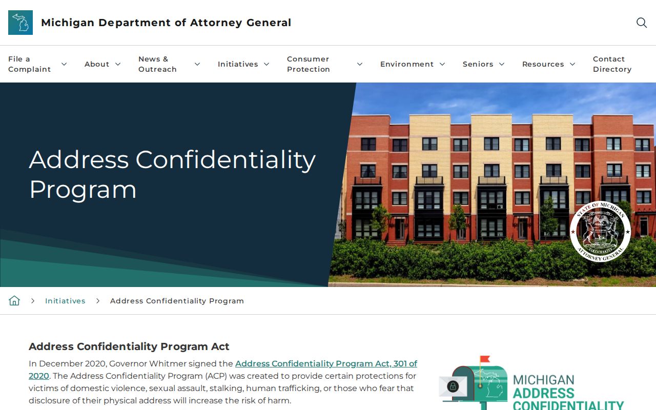
The program's protections are a clear reason to avoid turning adjacent-parcel research into a neighbor list or a pattern of personal monitoring.